This month marks our third trip to the backcountry of Montana. This time, the Flathead Mountains of Glacier National Park is our playground. The area North of Kalispell is rich with small airstrips, gravel bars, and watchtower overlooks. Our goal is to visit as many of these places as possible.
Bush League Basics:
- Everyone is welcomed! Whether you’re an expert or beginner with flight simulators, radio communications, or navigation, etc., you’re invited! We’re a friendly bunch and enjoy learning from each other.
- The best aircraft for these events are those that can handle tiny, high elevation airstrips, and gravel bars. You will want your most STOL capable aircraft today. The route is short, but the landing zones are shorter. If you’d rather, the event also has a helicopter circuit that will be equally fun and challenging.
- We encourage you to join the VATSIM network and use the CTAF frequency of 122.8 to announce positions. We will be departing from a controlled field to get things started. If ATC is online, we will communicate with them as required.
- We’ll also use the Downwindsim Discord voice channel during the flight for non-ATC related chit-chat.
- As always, the main goal of these flights is to have fun and practice good airmanship. The weather in Montana can vary, so configure as you see fit. There should be plenty of daylight to get to Moose City.
Flight Information:
The event takes place on Monday, July 3rd. We will gather at Glacier Park International (KGPI) for a short flight briefing at 8:00pm EST (0000z on July 4th) with departures shortly after. The idea is for aircraft to work their way Northbound up the Flathead River, visiting as many spots as you can, before arriving at Moose City (86MT). In addition to the airstrips noted on the sectional, you will see a few unmarked airstrips & sandbars marked on Uncle Melvin’s Fixed Wing Map. You may even meet a hippy or two.
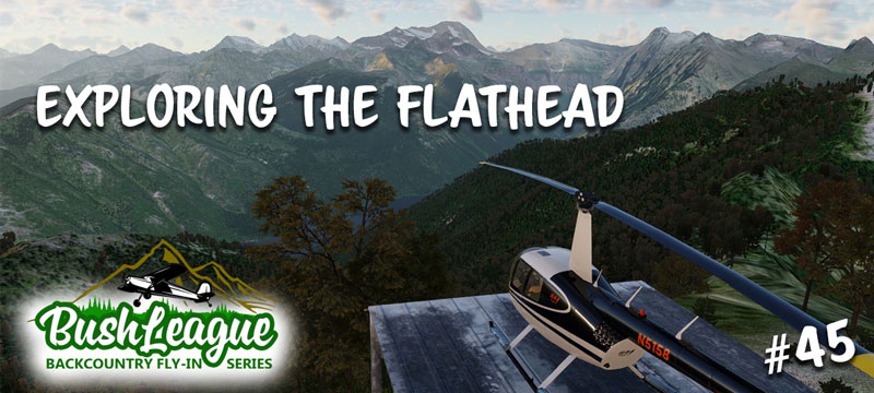
For helicopter pilots, your goal is to find and land at the Fire Watch Towers Overlooks dotted on both sides of the Flathead. Uncle Melvin’s Heli Map should help you out. Please note, not all Overlooks listed on the sectional are modeled in for this event. Also, there is an amazing waterfall between Mt. Brown & Loneman Mountain that’s worth looking for. Heli-pilots are also encouraged to visit the sandbars. Why should the fixed wing pilots have all the fun?
Considerations:
This month’s challenge is less about navigation and more about airmanship. The landing spots are not too difficult to find, but landing safely may be a different story. Also, we know you’re used to looking for the classic Bush League Banner, but for tonight’s event how many landings can you make at spots that don’t have one? Don’t spill your coffee and remember to share lots of photos.
X-Plane Scenery Installation Instructions:
The scenery has been developed for XP12. Here’s the link to the files for your “Custom Scenery” folder:
Bush League 45 Airstrips & Helipads
DownwindSim has pre-cooked the Ortho Tiles you’ll need. The two tiles can be found here and these folders go in your “Custom Scenery” folder:
+48-114 & +48-115
Ortho tile scenery should go near the bottom of your scenery_packs.ini folder. If you’re not sure what this means there are plenty of tutorials online or feel free to ask in the Discord channel.
We are big supporters of the X-World scenery addon (free) and Global Forests v2 ($15) addon. They are excellent additions for the XP12 world. If you don’t have them already… why not?
Questions and Help:
If you get stuck or have a question, drop a message on the DownwindSim Discord bush-flying text channel. There’s a bunch of friendly folks that’d be happy to help. We’ll see you at the Moose City FBO for pie and coffee when it’s all said and done.
-Uncle Melvin


