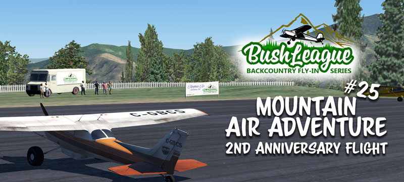
It’s hard to believe we’ve be at this for two years! We’ve been to and learned about places I had no idea even existed. Welcome back to all the old-timers, and if you’re new around these parts, we’re glad you’ve come! We’ll plan on meeting at Mountain Air (2NC0) a quick briefing at 7:00pm CDT, on Monday, November 1 and get underway shortly after that (00:00z, Oct 5).
To celebrate two years, we’re going to try something new. Our flight plan will be available as we start. As I eluded to in my discord post, here’s what you’ll need to make the most of this month’s flight…
- X-Plane 11 (I have made some accommodations if you only have, or choose to use MSFS, more details will be available at flight time. The most interactive experience will be in X-Plane.)
- Choose an airplane that can land on both pavement and grass strips. You’ll also need an ADF radio and the ability to confirm the station you’re tuned to. Here’s a short video I made demonstrating this.
- Download and install the scenery linked below.
Bush League Basics:
- Everyone is welcome! Whether you’re an expert or beginner with flight simulators, radio communications, or navigation, etc., you’re invited! We’re a friendly bunch and enjoy learning from each other.
- Leave your GPS at home (or only for an emergency). That’s adds to the fun and challenge. .
- We encourage you to join the VATSIM network and use the CTAF frequency of 122.8 to announce positions. We will not be in communication with ATC unless you plan to extend your flight into a controlled airspace.
- We’ll also use the Downwindsim Discord voice channel during the flight for non-ATC related chit-chat.
- As always, the main goal of these flights is to have fun, practice your navigation skills and good airmanship. The event is intended to be flown in real time with real weather, unless the area is strictly IFR conditions, then we’ll want to modify the weather and give us at least a fighting chance of finishing this flight.
Ortho4XP and Scenery Installation Instructions:
I’m trying something a little different this month for the Ortho4XP scenery. The scenery tiles are available for download. The file sizes are big, but they’re similar to what you would “cook” on your computer. These folders get installed into your X-Plane/Custom Scenery folder: They provide the elevation mesh (mountains, valleys, etc.) and the satellite imagery.
zOrtho4XP_+35-083.7z
zOrtho4XP_+35-084.7z
zOrtho4XP_+36-083.7z
zOrtho4XP_+36-084.7z
zOrtho4XP_+36-085.7z
zOrtho4XP_+37-085.7z
Here’s the link to the matching overlay files for the above tiles. These typically go into your X-Plane/Custom Scenery/yOrtho4XP_Overlays/Earth nav data/+30-090 folder. These files provide roads, powerlines, autogen buildings, etc., that “sit on top of” the satellite imagery/elevation mesh.
2021-11 BL Overlays.7z
And last but not least, the scenery files (5) for the airports we’ll be visiting:
2NC0_Mountain_Air_by_hapet_DWSv2.7z (if you have a previous version of 2NC0, delete and replace with this)
2021-11 BL A.7z (airport “A”)
2021-11 BL B.7z (airport “B” … etc.)
2021-11 BL C.7z
2021-11 BL D.7z
Summary:
Thanks again for going us to celebrate two years of getting lost. This month’s flight pushes the envelope in both scenery development (on my end) and navigation (on your end). In the spirit of Bush League Fly-In Series, leave your GPS at home and use those finely honed navigating skills. If you run into issues, please ask in my Discord channel for help. See you at Mountain Air, good luck and I hope you can join us!
Then I try to download zOrtho4XP_+36-083.7z it takes me to an ad for Amazon RDS.
Thanks for all you do. Its always a great time
The link had an error when I first posted the article. It’s fixed now. Please refresh the page and try again.