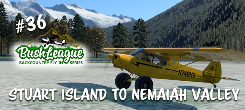
We’re back in beautiful British Columbia this month, and great news… Uncle Melvin has got a detailed map of all the locations (well, most of them) that you can visit! This month we’re combining last month’s adventure in BC and our second fly-in at Nemaiah Valley. After looking at the sectional, I realized we were not too far from Nemaiah Valley, so why not pick up the locations that were missed last month, and then make your destination one of the fields in the Nemaiah Valley area. If you want details about Fly-In #2, follow this link. There’s a bit for fixed wing aircraft as well as helicopters. Let’s meet again at Stuart Island, Monday, October 3 at 8:00pm EDT (October 4, 00:00z).
Bush League Basics:
- Everyone is welcomed! Whether you’re an expert or beginner with flight simulators, radio communications, or navigation, etc., you’re invited! We’re a friendly bunch and enjoy learning from each other.
- You’re welcomed to fly airplanes and/or helicopters. There’s a little bit of fun for each. If you fly an airplane, STOL capabilities are probably a good idea.
- We encourage you to join the VATSIM network and use the CTAF frequency of 122.8 to announce positions. We will not be in communication with ATC unless you plan to extend your flight into a controlled airspace.
- We’ll use the Downwindsim Discord voice channel for a quick pre-flight briefing around 8pm EDT, and also during the flight for non-ATC related chit-chat.
- The main goal of these flights is to have fun and practice your navigation and airmanship skills. The weather in British Columbia can be limiting… adjust as you feel necessary.
Ortho4XP Requirements:
This scenery package and adventure is designed to be used with Ortho4XP scenery tiles. Your mileage may vary if you don’t have this part. Here’s my settings for Orthox4XP, make sure your road level is bumped up to help flatten some logging roads. In total, X-Plane users will need ortho tiles for +50-125, +50-126, +51-125, +51-126. ARC Imagery and NED 1″ DEM was used during development. There are UPDATED OSM data files you need to copy to your Ortho4XP/OSM_data/+50-130 folder. There’s also a patch file to get Stuart Island Airstrip correct. The patch folder structure should be Ortho4XP/Patches/+50-130/+50-126/C446v2.patch.osm. If you already have these tiles made, remember to recook your tiles (+50-125, +50-126, +51-125, +51-126) after copying these files into the appropriate folders. If you don’t know what to do with these files, this tutorial might help. If you still get stuck, ask in the DWS discord channel.
Scenery Information:
DaneSimAir originally flew most of this in MSFS, but in this X-Plane version, there are many other Easter Eggs and adventures to find and explore. Here’s a link to the custom scenery addons for X-Plane from BL #35. These folders get copied to your Custom Scenery folder. Note, if you have LPNils’ version of Homathko and Scar Creek, you’ll want to temporarily remove them and use the DWS modified versions of these airstrips.
If you’re heading all the way up to Nemaiah Valley, you’ll want to pickup LPNils’ scenery package found here.
I’ve added one additional strip (Doran Creek) and that can be found here.
Also, not required but highly recommended is the Quatum River Scenery pack, now available from Orbx. This package includes Quatum River, Moe Creek and several helipads in the area. If you have that, temporarily remove any mesh folder. The changes in Ortho4XP above accommodate the Quatum River package.
All of these scenery files “should” work in both XP11 and XP12. If you’re a XP12 user and you haven’t bought Global Forests for XP12, go spend the $15 from the .ORG Store, it’s worth it!
Plan on starting at Stuart Island again. After you spawn in, consider moving into the grass for others to “arrive.” The airstrip is a tight little spot and there’s not a lot of extra room for parking. Be sure to listen to Dane on 123.20. He lists the strips in a “recommended” order. Thank you again to Dane, and all the regular Bush Hooligans… you know who you are! 🙂
Uncle Melvin’s new and improved PDF map is here. It includes most of the locations. Locations marked with an asterisk means there’s an Easter Egg or hint at that location. Also, if you make it up to Doran Creek, on your way to Nehamiah Valley, there’s a helipad on the lake about 1 mile west of the airstrip. There’s also a plane/pilot on a sandbar up Mosley Creek (again, west of Doran Creek). Fly low and you should see him.
Here’s the sectional for Nemaiah Valley. The southwest corner of this matches up with the northeast corner of the new Uncle Mevin’s map.
Please note, I’ve added names and features to Uncle Melvin’s Map that are not on the sectional online. I hope you can join us!