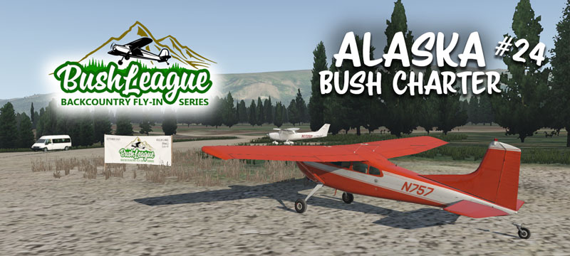
As fall rolls around, it’s a perfect time to fly and explore more of Alaska. This month we’ll continue the role of a bush charter pilot. Keep an eye on the weather, it can turn fast!
You’ll have the choice of starting at any location on Kodiak Island. Then the challenge is to navigate and try to find a fantastic fishing spot called Kulik Lake. You’ll have to pay close attention to the valleys, lakes and ridges because there’s not much radio navigation to be used. If you make it to Kulik and want some more adventure, head on up to Port Alsworth. There you can find fuel, food and overnight accommodations. We’ll plan on a quick briefing at 7:00pm CDT, on Monday, October 4 and get underway shortly after that. (00:00z, Oct 5)
Bush League Basics:
- Everyone is welcome! Whether you’re an expert or beginner with flight simulators, radio communications, or navigation, etc., you’re invited! We’re a friendly bunch and enjoy learning from each other.
- An old beat-up, private carrier bush plane is recommended. That’s adds to the fun and challenge. Leave your GPS at home (or only for an emergency).
- We encourage you to join the VATSIM network and use the CTAF frequency of 122.8 to announce positions. We will not be in communication with ATC unless you plan to extend your flight into a controlled airspace.
- We’ll also use the Downwindsim Discord voice channel during the flight for non-ATC related chit-chat.
- As always, the main goal of these flights is to have fun, practice your navigation skills and good airmanship. The event is intended to be flown in real time with real weather, giving you a chance to fully experience the challenges of flying the backcountry in Alaska.
Ortho4XP Scenery Installation Instructions:
You’ll need to cook at least tiles +58-155, +58-156, +59-155, +59-156, +60-155, +60-156, +61-155, +61-156 . These are the settings I used to cook my Ortho4XP tile… I’d recommend the same! Also, I used “ARC” for the imagery source as this provided a bit more consistency throughout the Alaska region. I used NED 1/3″ for the DEM and that seemed to work fine. If you need to cook the Kodiak Island area, use Viewfinder Panorama for the DEM. I’ve also provided this link to modified OSM data files for the tiles. These help shape the terrain immediately around airstrips and also add A LOT of missing water features. If you’re not sure how to use the modified OSM data, here’s a short video. As always, ask in my discord if something isn’t working right.
X-Plane Scenery Installation Instructions:
We’ll use the scenery package from LPNils for Kodiak, Alaska, found here.
Here’s a link to Kulik Lake (PAKL) by yours truly.
If you’d like to venture up to Port Alsworth, LPNils has created scenery for that area, linked here.
IMPORTANT: A word about forests and trees…
If you don’t have it already, you’ll definitely want to pick up GeoReality’s FREE Global Forests for Alaska. Kulik Lake has been designed using trees from this free addon. This free (did I say free?) package will provide much better foliage coverage than the default scenery. You can download the file here.
Summary:
Do your homework, leave your GPS at home, study the charts and be mindful of the weather. Good luck and I hope you can join us!
